-
 ×
- Startseite
- Kunstdrucke ▸
- Künstler ▸
- Kategorien ▸
- Kunststile ▸
- Bilderrahmen ▸
- Druckmedien ▸
- Alle Druckmedien
- Leinwand Leonardo (Satin)
- Leinwand Salvador (Matt)
- Leinwand Raphael (Matt)
- FineArt Foto Matt
- FineArt Foto Satin
- FineArt Foto Baryt
- FineArt Foto Hochglanz
- Aquarellkarton Munch
- Aquarellkarton Renoir
- Aquarellkarton Turner
- Aquarellkarton Dürer
- Natural Line Hemp
- Natural Line Rice
- Kozo White, 110g
- Kozo Natural, 110g
- Inbe White, 125g
- Unryu, 55g
- Bamboo, 110g
- Premio Unryu, 165g
- Murakumo Natural, 42g
- Bizan Natural, 300g
- Bizan White, 300g
- Aluverbund 3mm
- Acrylglas 5mm
- Musterset bestellen
- Welches Druckmedium passt?
Leinwand
Fotopapier
Aquarellkarton
Natural Line
Japanisches Papier
Spezialmedien
Weitere Informationen
- Hilfe & Service ▸
- Kontaktieren Sie uns
- Ihre Kunst verkaufen
- Häufig gestellte Fragen
- Offene Stellen
- Reklamation
- Muster bestellen
- Gutscheine bestellen
- Versandkosten
- Produktionszeit
- Nachhaltigkeit
- Bildrecherche
- Sonderwünsche
- Wer sind wir?
- Preispolitik
- Firmenpolitik
- Qualitätsversprechen
- Auszeichnungen
- Keilrahmen
- Passepartouts
- Zierrahmen
- Verglasung
- Fillets
- Aufhängungen
- Druckmedien
- Pflegetipps
- Impressum
- AGB
- Datenschutz
- Widerrufsrecht
Info & Service
Weitere Informationen
Wissenswertes
Rechtliches
- Shop ▸
- Kontakt




 In 3D / AR ansehen
 Bild zu Favoriten hinzufügen
 Wandfarbe ändern
 Bild in einem Raum anzeigen
.jpg "Grundriss der dreizehn Märkte in der Stadt New York, 1833 (schwarze Tinte, mit Farbwaschung, auf Papier)")

.jpg "Karte der Stadt New York [bis zur East 53rd Street], 1885")
.jpg "Plan der bei Chamberlains Wharf, Cottons Wharf und Hays Wharf im Cottons Wharf Feuer von 1861 zerstörten Gebäude")
.jpg "Plan der Stadt New York, graviert von Tiebout, 1789")
.jpg "Leitfaden für Feuerwehrleute - Eine Karte von New York mit den Feuerwehrbezirken, 1834")
 - (MeisterDrucke-655173).jpg "New Yorke 1695, 1846")
.jpg "Karte, die die Hoch- und Niedrigwassermarke und die ursprünglichen Stadtzuschüsse von Land unter Wasser zeigt, die von 1686 bis 1873 an verschiedene Parteien vergeben wurden, von Battery bis zur 51. Straße, Judson und East Rivers")
.jpg "Neue Karte von Mynden und de Loosdrecht")
.jpg "Plan der Stadt New York, der das angelegte und sumpfige Land zeigt, 1856")
.jpg "Plan der geplanten neuen Straße zwischen Pall Mall, gegenüber dem Carlton House, und Portland Place, entworfen von John Nash (1758-1835), veröffentlicht von J. Booth, 1818")

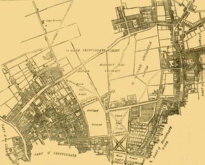

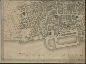
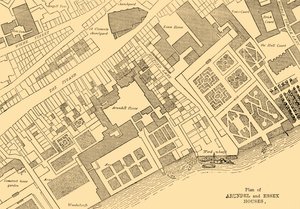
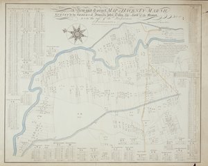
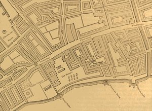
.jpg "Karte der Stadt und des County New York mit Originalcharakteren und Illustrationen, 1850")
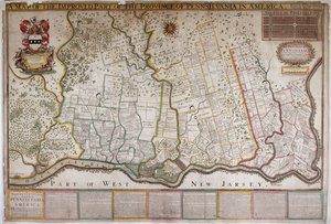
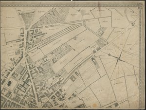
.jpg "Plan der Stadt New-York [bis zur East 31st Street], 1817")
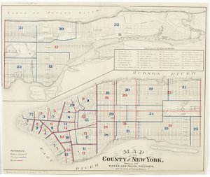


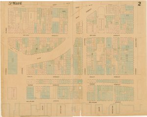


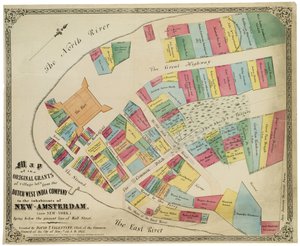
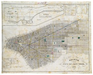


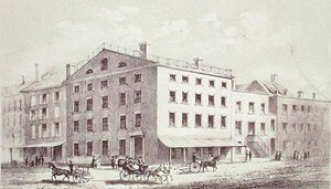
.jpg "Danaë, 1891")
.jpg "Der Munnekeholm mit dem Aduardergasthuis im Vordergrund und dem West-Indisch Huis im Hintergrund")
.jpg "Seerosen: Grüne Spiegelungen, 1914-18 (linker und rechter Teil)")

.jpg "Madonna mit dem Kind und zwei Engeln")
.jpg "Wandernde Schatten")
.jpg "Eiger, Mönch und Jungfrau in der Morgensonne")
.jpg "Nackte Frau im Bett, ca. 1914")

.jpg "Bauerngarten mit Sonnenblumen")
.jpg "Himmelsstudie")
.jpg "Ein Sturm in den Rocky Mountains, Mount Rosalie")

 +43 4257 29415
 support@meisterdrucke.com
 Mo-Do: 7:00 - 16:00 | Fr: 7:00 - 13:00