-
 ×
- Startseite
- Kunstdrucke ▸
- Künstler ▸
- Kategorien ▸
- Kunststile ▸
- Bilderrahmen ▸
- Druckmedien ▸
- Alle Druckmedien
- Leinwand Leonardo (Satin)
- Leinwand Salvador (Matt)
- Leinwand Raphael (Matt)
- FineArt Foto Matt
- FineArt Foto Satin
- FineArt Foto Baryt
- FineArt Foto Hochglanz
- Aquarellkarton Munch
- Aquarellkarton Renoir
- Aquarellkarton Turner
- Aquarellkarton Dürer
- Natural Line Hemp
- Natural Line Rice
- Kozo White, 110g
- Kozo Natural, 110g
- Inbe White, 125g
- Unryu, 55g
- Bamboo, 110g
- Premio Unryu, 165g
- Murakumo Natural, 42g
- Bizan Natural, 300g
- Bizan White, 300g
- Aluverbund 3mm
- Acrylglas 5mm
- Musterset bestellen
- Welches Druckmedium passt?
Leinwand
Fotopapier
Aquarellkarton
Natural Line
Japanisches Papier
Spezialmedien
Weitere Informationen
- Hilfe & Service ▸
- Kontaktieren Sie uns
- Ihre Kunst verkaufen
- Häufig gestellte Fragen
- Offene Stellen
- Reklamation
- Muster bestellen
- Gutscheine bestellen
- Versandkosten
- Produktionszeit
- Nachhaltigkeit
- Bildrecherche
- Sonderwünsche
- Wer sind wir?
- Preispolitik
- Firmenpolitik
- Qualitätsversprechen
- Auszeichnungen
- Keilrahmen
- Passepartouts
- Zierrahmen
- Verglasung
- Fillets
- Aufhängungen
- Druckmedien
- Pflegetipps
- Impressum
- AGB
- Datenschutz
- Widerrufsrecht
Info & Service
Weitere Informationen
Wissenswertes
Rechtliches
- Shop ▸
- Kontakt




 In 3D / AR ansehen
 Bild zu Favoriten hinzufügen
 Wandfarbe ändern
 Bild in einem Raum anzeigen
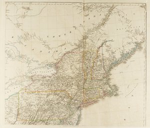
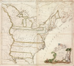
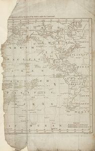
.jpg "Eine neue und allgemeine Karte des mittleren Herrschaftsgebiets der Vereinigten Staaten, 14. Mai 1794")

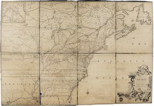
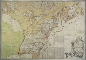
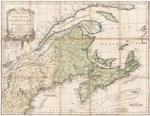
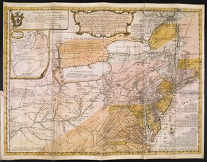
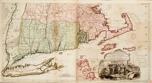
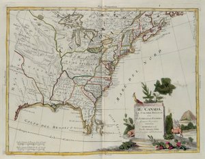
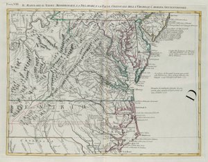

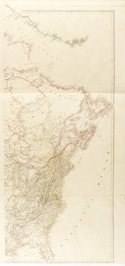
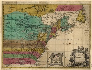

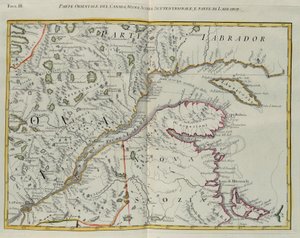
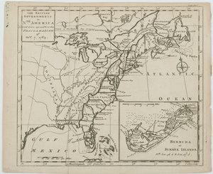

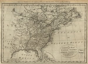

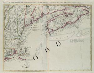
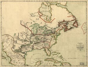
.jpg "Karte des unteren Staates New York und umliegender Gebiete, ca. 1775")

.jpg "Kirche und Landhaus mit beleuchteten Fenstern")

.jpg "Porträt König Richards III.")
 c1740-50 - (MeisterDrucke-77045).jpg "Kidbrooke Park, Kent, ehemals George Lambert (1700-65) zugeschrieben, um 1740-50")

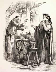
.jpg "Detaillierte Karte der Halbinsel Gallipoli und der Dardanellen, Türkei, 1915, aus „The War Illustrated Album de Luxe“, veröffentlicht in London, 1916")
.jpg "Weltkarte mit den rot eingefärbten Besitzungen des Britischen Empire, um 1870")
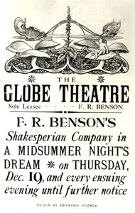


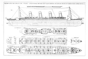
.jpg "Der 28. Juli. Die Freiheit führt das Volk")
.jpg "Werbeplakat für „Maurin Quina“, Le Puy, Frankreich")
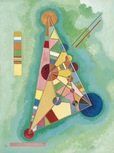


.jpg "Montage aus 8 Seiten des Katalanischen Weltatlas von Cresques: die damals bekannte Welt")
.jpg "Frühling, blumenpflückendes Mädchen, aus der Villa von Varano in Stabiae, um 15 v. Chr.-60 n. Chr.")

.jpg "Die Höhle der Sturmnymphen, 1903")
.jpg "Herbstlandschaft mit vier Bäumen")


_-_Shooting_Stars_(Franz_and_Mary_-_(MeisterDrucke-977653).jpg "Die Sternschnuppen (Franz und Mary von Stuck)")


 +43 4257 29415
 support@meisterdrucke.com
 Mo-Do: 7:00 - 16:00 | Fr: 7:00 - 13:00