-
 ×
- Startseite
- Kunstdrucke ▸
- Künstler ▸
- Kategorien ▸
- Kunststile ▸
- Bilderrahmen ▸
- Druckmedien ▸
- Alle Druckmedien
- Leinwand Leonardo (Satin)
- Leinwand Salvador (Matt)
- Leinwand Raphael (Matt)
- FineArt Foto Matt
- FineArt Foto Satin
- FineArt Foto Baryt
- FineArt Foto Hochglanz
- Aquarellkarton Munch
- Aquarellkarton Renoir
- Aquarellkarton Turner
- Aquarellkarton Dürer
- Natural Line Hemp
- Natural Line Rice
- Kozo White, 110g
- Kozo Natural, 110g
- Inbe White, 125g
- Unryu, 55g
- Bamboo, 110g
- Premio Unryu, 165g
- Murakumo Natural, 42g
- Bizan Natural, 300g
- Bizan White, 300g
- Aluverbund 3mm
- Acrylglas 5mm
- Musterset bestellen
- Welches Druckmedium passt?
Leinwand
Fotopapier
Aquarellkarton
Natural Line
Japanisches Papier
Spezialmedien
Weitere Informationen
- Hilfe & Service ▸
- Kontaktieren Sie uns
- Ihre Kunst verkaufen
- Häufig gestellte Fragen
- Offene Stellen
- Reklamation
- Muster bestellen
- Gutscheine bestellen
- Versandkosten
- Produktionszeit
- Nachhaltigkeit
- Bildrecherche
- Sonderwünsche
- Wer sind wir?
- Preispolitik
- Firmenpolitik
- Qualitätsversprechen
- Auszeichnungen
- Keilrahmen
- Passepartouts
- Zierrahmen
- Verglasung
- Fillets
- Aufhängungen
- Druckmedien
- Pflegetipps
- Impressum
- AGB
- Datenschutz
- Widerrufsrecht
Info & Service
Weitere Informationen
Wissenswertes
Rechtliches
- Shop ▸
- Kontakt





 In 3D / AR ansehen
 Bild zu Favoriten hinzufügen
 Wandfarbe ändern
 Bild in einem Raum anzeigen
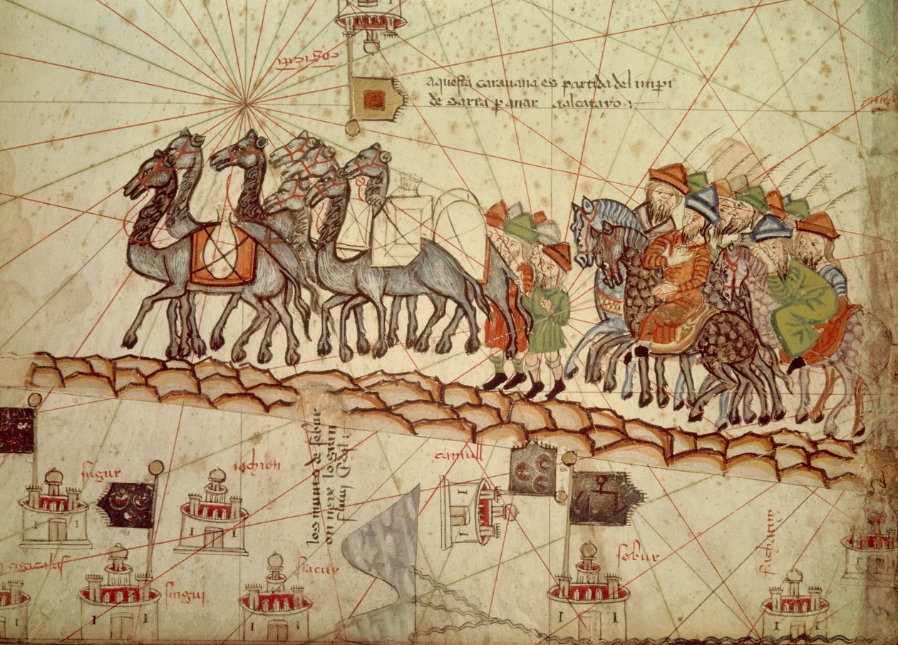
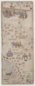
.jpg "Detail einer Kopie einer katalanischen Karte von Europa und Nordafrika, die 1381 Karl V. von Frankreich überreicht wurde")
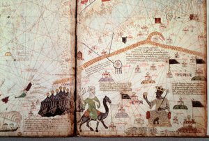
 (detail of 151844) - (MeisterDrucke-38188).jpg "Detail aus dem Katalanischen Weltatlas, 1375 (Detail von 151844)")


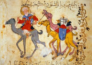
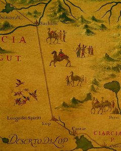
 (detail from 330922) - (MeisterDrucke-92751).jpg "Die Nordküste Afrikas, aus einem nautischen Atlas, 1651 (Detail)")

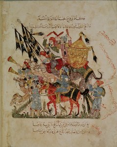
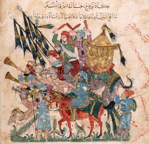
 by Al-Hariri c1240 (gouache on vellum) - (MeisterDrucke-111982).jpg "Ms c-23 f.12a, Ein Karawanenstopp, aus")
.jpg "Ein arabischer Händler auf einem Kamel, Detail einer Renaissance-Karte von Europa, nach Jacopo Russo, 1528")
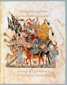
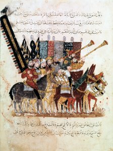
.jpg "Ms Ar 3229 f.117, Gruppe von Reitern, Miniatur aus Al Maqamat (Die Treffen) von Al-Hariri (Gouache auf Pergament)")
.jpg "Leylis Stamm kämpft gegen Nofel")
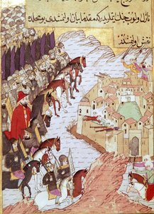
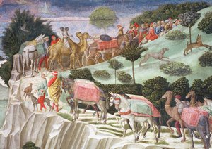
 by Al-Hariri c1240 (gouache on vellum) - (MeisterDrucke-112530).jpg "Feier des Endes des Ramadan, aus")
.jpg "Eine Miniaturreiter aus dem Manuskript")
 by Al-Hariri c1240 - (MeisterDrucke-86046).jpg "Ms Ar 5847 f.138, Abu Zayd und Al-Harith befragen Dorfbewohner, aus")
 (detail from 330919) - (MeisterDrucke-120357).jpg "Die Städte Marseille und Genua mit ihren Häfen, aus einem nautischen Atlas, 1651 (Detail)")
.jpg "Majnun beobachtet die Schlacht zwischen Nawfal und Lailas Stamm")
.jpg "Blatt aus der Morgan-Bilderbibel")
.jpg "In der Wüste entdeckt Al-Harith Abou Zayd schlafend, aus Al Maqamat von Al Hariri, ca. 1240")
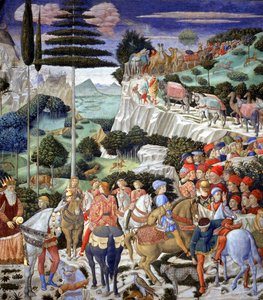

.jpg "Das Martyrium der heiligen Margareta, die Heilige wird gefoltert und anschließend enthauptet, Detail")
.jpg "Martyrium des heiligen Clemens, Detail eines Altarfrontalbildes mit Szenen aus dem Leben des heiligen Clemens, aus der Kirche Sant Climent de Taüll, Vall de Boi, Alta Ribagorça, zweite Hälfte des 13. Jahrhunderts")
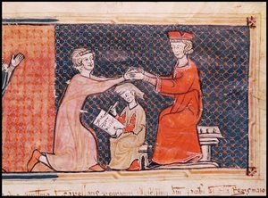
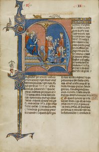
.jpg "Christus in der Herrlichkeit, aus der Kirche San Clemente de Tahull, Lérida, Spanien")
.jpg "7249 Esp.30 f.2v-3 Detail einer katalanischen Weltkarte, 1375")
 - (MeisterDrucke-52967).jpg "Die Flucht nach Ägypten, Detail eines der Jungfrau Maria gewidmeten Altarbildes")
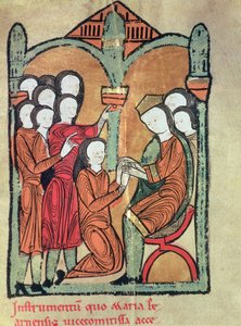
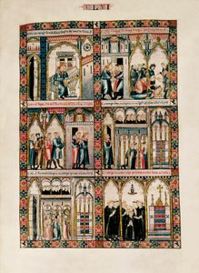
_Bishop_of_Carthage_brought_before_Emperor_Valerian_(r253-6_-_(MeisterDrucke-1422114).jpg "St. Cyprian (ca. 200-258) Bischof von Karthago vor Kaiser Valerian (r. 253-60) 1300-25")
 - (MeisterDrucke-98621).jpg "Antependium mit Szenen aus dem Leben des heiligen Clemens, aus der Kirche Sant Climent de Taüll, Vall de Boi, Alta Ribagorça, 2. Hälfte des 13. Jahrhunderts")
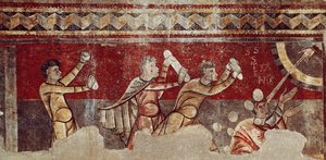

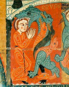
.jpg "Das Mädchen mit dem Perlenohrring")
.jpg "Akzent in Rosa, 1926")

.jpg "Grace liest an der Bucht von Howth")
_-_Shooting_Stars_(Franz_and_Mary_-_(MeisterDrucke-977653).jpg "Die Sternschnuppen (Franz und Mary von Stuck)")

 - (MeisterDrucke-153135).jpg "Katze in einem Regenbogen")
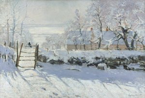
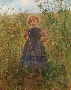
.jpg "Der Greifswalder Markt")
 - (MeisterDrucke-2593).jpg "Jäger im Schnee (Winter)")
.jpg "Der Garten des Künstlers in Giverny, 1900")
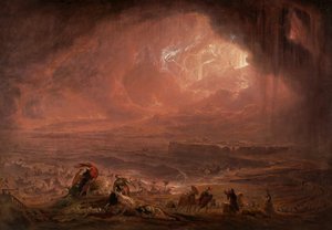

.jpg "Der Kuss")

 +43 4257 29415
 support@meisterdrucke.com
 Mo-Do: 7:00 - 16:00 | Fr: 7:00 - 13:00